About This Course
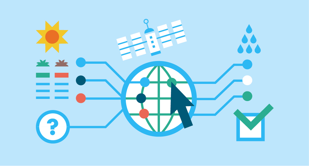
Welcome to this open online course from UNESCO Open Learning. This is an introductory course in remote sensing (RS) and GIS for catchment and water resource management. The material has been developed following successful in-person courses delivered by the team in Pietermaritzburg, South Africa in January 2019, and at the UNESCO Open Water Symposium in Rabat, Morocco in October 2019.
Work load
The course represents about 4 to 5 days of work, depending on your familiarity with GIS and RS. Some familiarity with either QGIS or ArcGIS Pro would be useful, and you have the choice of completing the exercises using either of these software options. We do not expect you to have any prior remote sensing knowledge or skill.
The scope of this initial course is to provide a foundation in basic principles of remote sensing for water and catchment management, and a follow-on course focussing on specific aspects of the hydrological cycle (e.g. precipitation, evaporation, soil moisture, groundwater, etc) and relevant themes (e.g. floods, droughts, etc.) is currently under development.
Course outline
The course is structured around a series of short (20 to 30 min) lectures followed by one or more interactive practical exercises where you will learn specific analytical skills.
All the practical tasks relate to the same geographic area – catchments of the upper Msunduzi catchment near Pietermaritzburg, South Africa.
Interspersed with these are some quizzes and links to other learning resources.
We also have a series of interesting case studies prepared by the Institute of Natural Resources, South Africa, that showcase practical application of RS techniques in the context of real-world projects in various parts of Africa. The course consists of four learning units.
You can do this course at your own pace. Working through the material, including completing the tasks and quizzes will enable you to receive a certificate of attendance.
Modules
- Part 1
- 1. What is remote sensing?
- 2. Basic principles of remote sensing
- 3. Sensors and Data for Water Resources Management
- 4. Spatial data structures
- Part 2
- 1. Introduction to image interpretation
- 2. Introduction to multispectral imagery
- 3. Visualizing multispectral imagery
- 4. Analysing multispectral imagery 1: Image classification
- 5. Analysing multispectral imagery 2: Multispectral indices
- 6. Practice
- Part 3
- 1. Introduction to Remote Sensing and Radar
- 2. Introduction to Digital Elevation Models
- 3. DEM Topographic and Hydrological Analysis
- 4. Practice
- Part 4
- 1. Case Studies (Lectures)
- 2. Case Study. Lesotho (Assessment)
- 3. Case Study. South Africa (Assessment)
- 4. Case Study. Global datasets (Assessment)
- 5. Exercise 1. Land Cover Change (Assessment)
- 6. Exercise 2. Forest Data (Assessment)
Course certificate
Participants who complete the course having an 80% grade of approval in all asessments can obtain a course certificate issued by UNESCO.
Funding
The course is funded by the Flemish Trust Fund for Science (FUST) of the Flemish Government in Belgium.
The materials developed in this course were made possible through funding from the Global Challenges Research Fund. The support of the International Water Security Network, funded by the Lloyds Register Foundation, a charitable foundation helping to protect life and property by supporting engineering-related education, public engagement and the application of research, is also acknowledged. We’d also like to thanks colleagues at the Department of Geography and Environmental Management , University of the West of England (UWE), Bristol, United Kingdom for their support.

Requirements
Some familiarity with either QGIS or Arc GIS Pro would be useful, and you have the choice of completing the exercises using either of these software options. We do not expect you to have any prior remote sensing knowledge or skill.
Course Staff
Professor Nevil Wyndham Quinn
BSc(Hons) LLM (Environmental Law) PhD AMICE MIEnvSc CEnv FRGS
Nevil has led the development of this and earlier courses and is an Professor in Applied Hydrology in the Department of Geography and Environmental Management, University of the West of England (UWE), Bristol . Nevil graduated with a BSc(Hons) cum laude in Hydrology from the University of Natal, South Africa. His PhD in environmental hydrology, also from the University of Natal, involved developing ecological models for the management of freshwater inflow to estuaries. Subsequently he completed a Master of Laws (Environmental Law) cum laude, with a dissertation focused on transboundary water law. He spent several years working as a consultant and contract researcher in the water and environment sector, before becoming programme director for a Master's course at the Centre for Environment and Development at the University of KwaZulu-Natal. He joined UWE in 2004, appointed to set up new programmes in river and coastal engineering for the Environment Agency. He currently teaches hydrology to civil engineering students and water, catchment and environmental management modules to geography and environmental management students. He is Editor-in-Chief of Hydrology Research, an international journal published by the International Water Association, which is also the official journal of the British Hydrological Society, the Nordic Association for Hydrology and the Italian and German Hydrological Societies. He is co-author of the 3rd edition of Routledge’s Fundamentals of Hydrology, and has research interests in catchment management, hydrology, flood risk estimation and the management of catchments and climate extremes. Most recently he has been involved in a significant national drought research programme (UK Droughts and Water Scarcity Programme - see About Drought).
Michael Horswell
Senior Lecturer in Applied GIS and Spatial Analysis
BA(Hons) MSc PGDipHE FHEA FRGS
I am interested in the application of GIS to address real world problems. I have participated in a number of multidisciplinary teams - providing the specialist knowledge and skills to integrate a 'spatial view' into projects. I am very enthusiastic about teaching GIS, and contribute to a range of modules, across all levels, within the Department of Geography and Environmental Management.
I enjoy working across a range of disciplines, and have participated in research ranging from environmental management to urban planning to health, and have supported student work in a number of fields, from the spatial economics of the Bristol housing market, to the epidemiology of malaria in Kenya, to the logistics of waste management in the boroughs of greater London. More recently I have contributed to research projects associated with climate change focussing on future floods, droughts and enhancing resilience.
I am particularly interested in the pedagogy of subjects with a strong technical emphasis as well as teaching and learning approaches to dispositional and professional development, and have presented on the subject at professional and academic conferences. I have been a UWE Learning and Teaching Fellow, and was departmental Teacher of the Year Award in 2016. I am working toward my Senior Fellowship of the Higher Education Academy, as well as my doctorate in education.
Harry West
Senior Lecturer in Geography and Environmental Management
BSc(Hons) MRes PgCert FRGS FHEA MIEnvSc
Harry is a GIS and remote sensing specialist based in the School of Architecture and Environment at the University of the West of England, Bristol, UK. He holds a BSc(hons) in Geography and Environmental Management and a MRes in Remote Sensing. Harry teaches GIS and remote sensing across a range of undergraduate and postgraduate courses. He also is the Programme Leader for UWE’s BSc Geography course. At UWE Harry is aligned with the Centre for Water, Communities and Resilience. His interests lie in the application of GIS, remote sensing and geospatial technologies to water and environmental resource management and has been involved in several CPD and capacity building activities in these areas.
Harry’s research interests span a broad range of hydrology, water and environmental management topics. In recent years Harry has researched into LiDAR data quality and uncertainty in relation to future sea level rise modelling in coastal environments, the application of Sentinel-2 multispectral imagery to vegetation monitoring in severe drought conditions, and GIS-based spatio-temporal analysis exploring hydrometeorological signatures of atmospheric circulations.
Alongside these disciplinary interests Harry actively researches into higher education pedagogy, with a particular focus on assessment and feedback strategies. Harry is a Co-Editor of the International Journal for Students as Partners, sits on the Editorial Board of the Journal of Geography in Higher Education, and is the current Secretary of the UK Royal Geographical Society Geography and Education Research Group.
Chris Newton
Technical Instructor in GIS and data analytics
BSc(Hons) MSc MSc
I provide instruction and support to students across a range of modules in geography, environmental management and civil engineering. I also contribute to data processing, visualisation and analysis in support of academic research projects. I have two MScs from University of Manchester, one in Geographical Information Science and the second in Data Analytics and Society. I am a keen user of QGIS, Python and R.
Case study contributors
Leo Quayle
Leo Quayle is an environmental scientist and founder of GeoNest GIS and Environmental Advisory. He has a BSc (Chemistry and Geography) and BSc Honours (GIS and Geomorphology) from UKZN and an MPhil (Environmental Management) from UCT. He has 18 years of experience working in in various environmental and planning fields working permanently for various periods in the United Kingdom, Ghana and South Africa. Over this period, he has also been involved in a wide variety of projects located in South Africa, Kenya, South Sudan, Lesotho, Zimbabwe, Mozambique, Botswana, Angola and Namibia. He has a broad interest in various environmental and planning fields working locally and internationally as a project leader, GIS specialist/environmental planner and aquatic ecologist. He has worked on a number environmental management projects focusing on natural resources management, risk and vulnerability assessment (focus on land degradation and climate change) and environmental information management. He has also worked extensively in the aquatic ecological space focusing on water quality, river health and biomonitoring. He has a strong interest in the application of satellite and UAV based remote sensing and GIS to environmental projects and in developing spatially intelligent software to support environmental management. He is presently leading the development of a monitoring and reporting framework for the state of strategic water source areas in South Africa, incorporating an online dashboard to reflect spatial and non-spatial indicators of state.
Simone Murugan
Simone Murugan is a senior scientist at the Institute of Natural Resources and holds a Master’s degree in hydrology from the University of KwaZulu-Natal. Her MSc thesis work utilized the ACRU hydrological model and GIS and explored the impacts of up-scaled rainwater harvesting on ecosystem good and services. She has four years’ experience in hydrological modelling and environmental management. Simone also has a keen interest in remote sensing which has seen her recently manage a Water Research Commission funded project that evaluated the use of the ESA Tiger-Net Water Observation Information System (WOIS) for the improvement of Integrated Water Resource Management in the Southern Drakensburg Strategic Water Source Area. Simone has also played an integral role in a number of spatial mapping projects that have allowed her to develop her skills from delineating wetlands and hydrological catchments to developing frameworks for prioritizing catchments for ecological intervention. She was also a part of a team that updated the South African version of the WWF Water Risk filter, which incorporated several spatially derived drought-sensitive indicators to assess a business’s risk to drought exposure. While she applies her spatial mapping skills to a wide range of environmental issues, Simone is eager to explore the use of remote sensing to map and monitor water quality in rivers.
Silungile Dlamini
Silungile Dlamini is currently employed as a research scientist at the Institute of Natural Resources and holds a Masters in Environmental Science – specialising in GIS and Remote Sensing. Silungile’s research interests lie in the application of GIS and remote sensing technologies to natural resource management and understanding human-environment interactions through geospatial technologies and techniques. She has been involved in a number of relevant projects including the mapping of wetlands at a catchment, district and regional scale using innovative topographically based techniques, the analysis and mapping of sensitive geotech, water quality and coastal zones as part of the eThekwini Municipality SEA and in undertaking land cover change analyses using various land cover products.
Wesley Evans
Wesley Evans is a research scientist at the Institute of Natural Resources and graduated from the University of KwaZulu-Natal with a BSc degree in Biological Sciences. He went on to complete his MSc at the University of KwaZulu-Natal in Ecological Sciences where his thesis examined the status of freshwater fish populations in KwaZulu-Natal and the use of freshwater fish as indicators of riverine wellbeing. Following his Masters, Wesley worked as a field technician where he employed state-of-the-art radio-telemetry techniques to monitor behaviour and migration of freshwater fish. In 2019, he joined the Institute of Natural Resources where he works as part of the Ecosystems Theme on various environmental projects primarily related to riverine and catchment management. During his time at the INR, Wesley has been involved in a variety of catchment management projects including the development of a water quality costing framework and an associated Excel tool which links deteriorating water quality with social, economic, environmental and health costs. He has a strong interest in the use of new technology in data capture, analysis and reporting, and he has experience using digital media in conservation related work, through the production of short videos as a form of reporting and to raise awareness about issues facing freshwater ecosystems.
Nomcebo Myeza
Nomcebo Myeza is an intern at the Institute of Natural Resources and holds a Masters in Hydrology from the University of KwaZulu-Natal. Nomcebo’s MSc assessed the hydrological impact of urban land use change in the Limpopo North Water Management Area (WMA) using the ACRU agrohydrological model. Her research interests lie in land use hydrology, catchment management and the application of Remote Sensing and other spatial tools into catchment management. She has been instrumental in developing indices for the assessment of the hydrological health of catchments and was responsible for drafting the 3rd Lesotho National Communication to the UNFCCC on soils and land degradation.
Frequently Asked Questions
What web browser should I use?
The Open edX platform works best with current versions of Chrome, Edge, Firefox, Internet Explorer, or Safari.
See our list of supported browsers for the most up-to-date information.
What software do I need?
You must either have a valid licence for Arc GIS Pro, or have installed the open-source alternative, QGIS. See here for instructions for downloading QGIS. We recommend downloading 3.22, the current long-term release version.