Landslide risk assessment, monitoring, and forecasting


UNESCO

About This Course

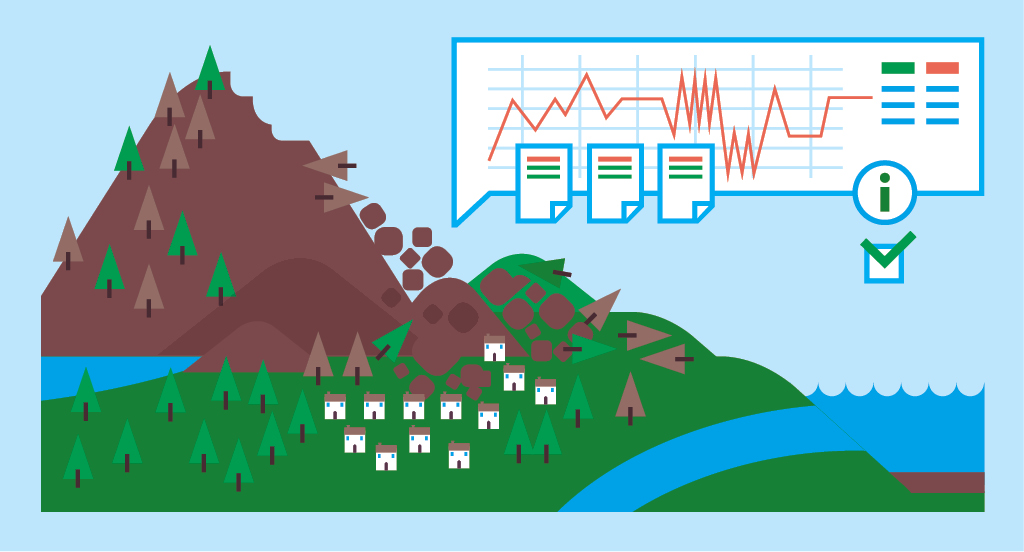
This course provides an overview of key topics related to landslide disaster risk reduction (DRR), including an introduction to the main landslide typologies and their characteristics, an overview of the data required and the techniques most commonly used for landslide risk assessment, the most cost-effective methods for investigating and monitoring the various landslide typologies, and the best options for hazard management, including implementation of mitigation measures and early warning systems.

Aimed at both experts and non-expert people, the course provides advanced but easy-to-follow keys to understanding landslide disasters and the main methods for analyzing and managing the associated risks. The course addresses practical aspects and case studies that provide useful links to land use planning, risk mitigation/adaptation in hazard-prone areas, and integrated management of exposed sites.

Work Load

The course is comprised of 5 modules with a duration of 1-2 hours each. The course can be completed in a total of 8 hours.

Course Team

Key Course Academics

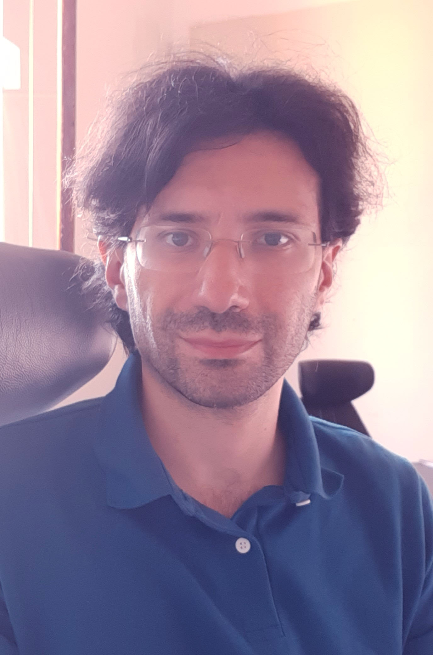
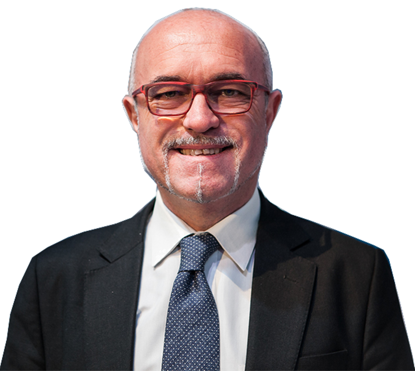
Nicola Casagli

Nicola Casagli

Professor of Engineering Geology at the University of Florence, Department of Earth Sciences. President of the National Institute of Oceanography and Applied Geophysics - OGS. Founder and President of the Civil Protection Centre of University of Florence. Vice President and immediate past President of the International Consortium on Landslides (ICL). President of the 6th World Landslide Forum. Founder and Chairholder of the UNESCO Chair on Prevention and Sustainable Mitigation of Geo-hydrological Hazards. Adjunct Professor of the UNESCO Chair on Geoenvironmental Disaster Reduction at Shimane University (Japan). Co-founder of the international Master in Geoengineering at the University of Florence. Founder and scientific head of the research infrastructure of national relevance Advanced Technologies for Landslides (ATLaS). Member of the Major Risks National Committee of the Department of Civil Protection of the Italian Government. Member and former vice president of the International Consortium on Geo-disaster Reduction (ICGdR). Former head of the Department of Earth Sciences and past member of the Academic Senate of the University of Florence. Expert of geological hazards and ground instability, geophysical technologies for monitoring and exploration, remote sensing, radar interferometry, engineering geological characterization and modeling. His research group has been recognized as World Center of Excellence on Landslide Risk Reduction of the International Program on Landslides and Center of Competence of the Department of Civil Protection of the Italian Presidency of the Council of Ministers. Awarded with the Order of Merit of the Italian Republic (4th Class Officer). Degree in Geology, MSc in Engineering Rock Mechanics at Imperial College of London and PhD in Engineering Geology. Author of more than 800 scientific publications and holder of 4 industrial patents. Included in Stanford University's list of the World's Top 2% Scientists. H-index=79 Google Scholar.

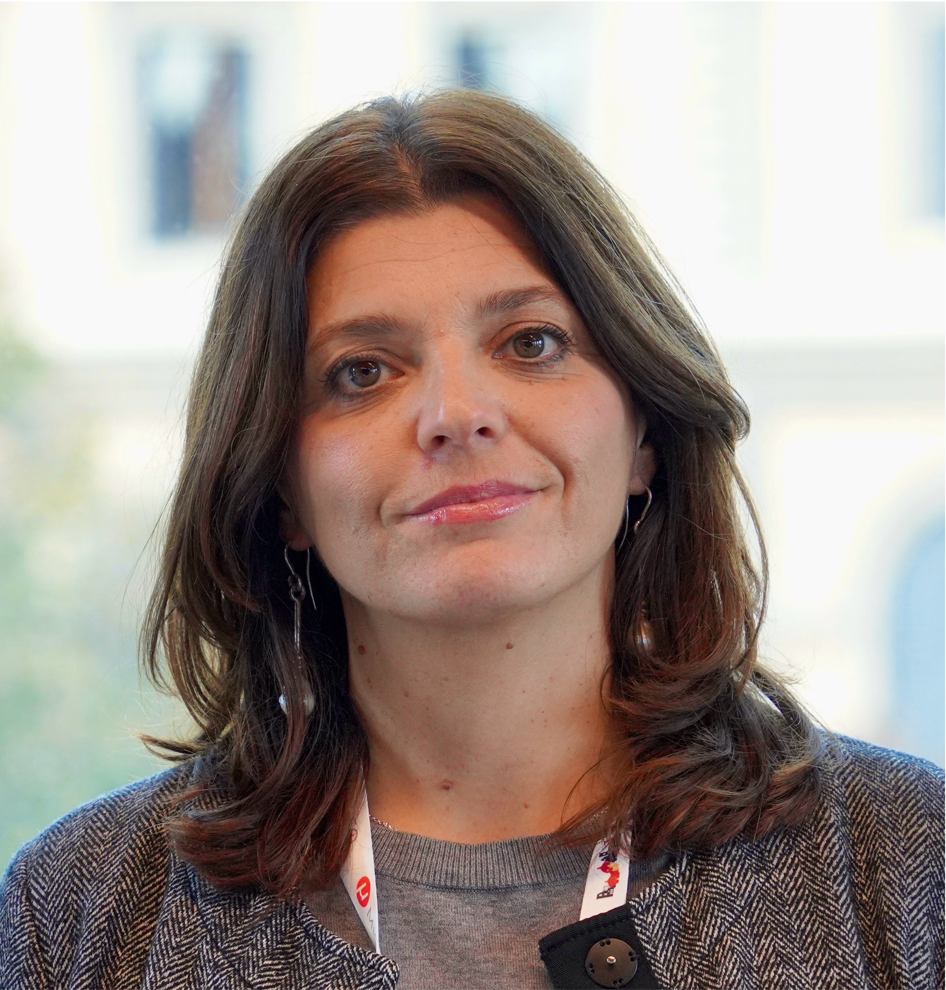
Silvia Bianchini

Silvia Bianchini

Silvia Bianchini, female. She is Associate Professor of Engineering Geology at the Department of Earth Sciences of the University of Florence (Italy) and Programme Coordinator of the UNESCO Chair on Prevention and Sustainable Management of Geo-hydrological Hazards of the University of Florence. Her research mainly concerns the use of advanced remote sensing techniques, exploitation of satellite optical and radar data for geohydrological hazard and risk assessment, environmental management, mapping and monitoring of hydrogeological instability of ground and manufacts. She is academic lecturer of courses of Applied Geology in the Degree and Master Courses in Diagnostics and Materials for Conservation and Restoration and in Geological Sciences at the University of Florence.

Giovanni Gigli

Giovanni Gigli

Giovanni GIGLI is Associate Professor of Engineering Geology at the Earth Sciences Department of the University of Florence (Italy). His research interests regard computer modelling of landslide initiation and runout, remote sensing, GIS, LIDAR, DEM analysis, with particular reference to the geotechnical and geomechanical applications of new survey and monitoring technologies aiming at the quick definition in emergency conditions of landslide risk scenarios, which also may affect the Cultural and Natural Heritage.

Since 2000 he has participated, sometimes with responsibility roles, in many research projects funded by UE, ESA, UNESCO, CNR, MURST-MIUR, GNDCI. He is Chair Associate of Engineering Geology within the UNESCO Chair on prevention and sustainable management of geo-hydrological hazards at the university of Florence. He is also author or co-author of more than 100 publications in international and national journals and in conference proceedings.

Federico Raspini

Federico Raspini

Federico Raspini is Associate Professor in Physical Geography and Geomorphology at the Department of Earth Sciences of the University of Florence. He received a PhD in Earth Sciences in 2013 at the University of Florence with a thesis on the interpretation of satellite interferometric data for mapping, monitoring and modeling of ground deformations induced by hydrogeological instability phenomena. His research focuses on the use of radar interferometric techniques (both satellite- and ground-based) for analysis of ground deformations and on landslide hazard and risk modelling.

He actively participated in projects with the National Civil Protection Department and with local authorities and in several international projects funded by the European Space Agency and by the European Commission. Since 2018 he is an affiliate of the UNESCO Chair on “Prevention and Sustainable Management of Geo-Hydrological Hazard” - University of Firenze. Since 2022 he is affiliate Researcher at OGS (National Institute of Oceanography and Applied Geophysics). He serves as Editor in relevant international scientific journals and he is the author or co-author of more than 80 publications in the fields of applied geology, landslide risk mapping and subsidence monitoring and analysis.

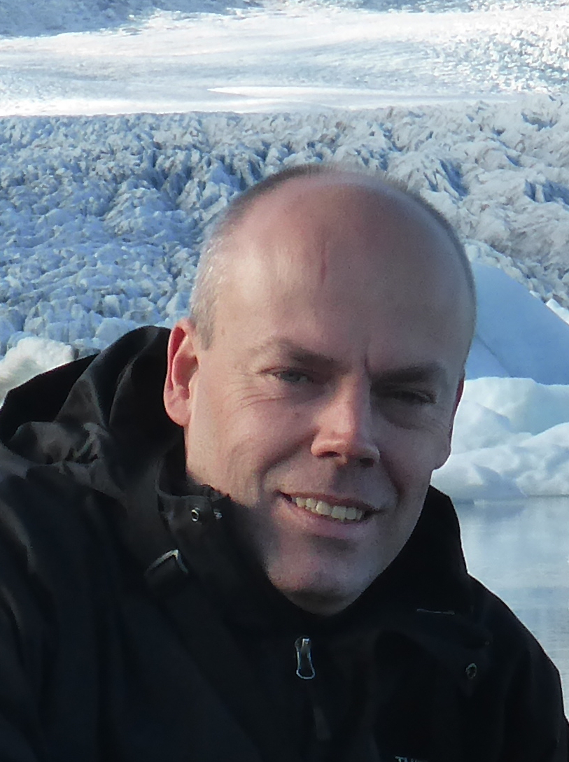
Emanuele Intrieri

Emanuele Intrieri

Emanuele Intrieri, is an Associate Professor at the Earth Sciences Department at the University of Florence. His teaching activity involves Engineering Geology, Hydrogeology and Geomechanics applied to cultural heritage. His research is devoted to landslides early warning and heritage stone buildings affected by detachments using tools derived from rockslide monitoring and analysis. He is the author or co-author of more than 60 scientific publications in international journals plus many conference proceedings and book chapters. He took part in several national and international research projects and in civil protection emergencies as team member of the Centre of Competence of the Italian Civil Protection Department and of the UNESCO Chair on Prevention and sustainable management of geo-hydrological hazards. He is the scientific coordinator of the Lapideous Materials, Engineering Geology, Enviromental and Landscape Laboratory.

Samuele Segoni

Samuele Segoni

Samuele Segoni is associate professor in applied geology at the University of Florence, Italy, where is also member of the Unesco Chair on Sustainable Management of Hydro-geological Hazards, member of the Civil Protection Center, and member of the managing committee of the interdepartmental center Games for Social Change. His research interests cover prediction and mapping of landslide hazard and risk, landslide susceptibility assessment, statistical rainfall thresholds for landslide triggering, regional scale landslide early warning systems, civil protection, land planning, direct and indirect impacts of natural disasters; game-based teaching; public engagement and outreach activities. Within these topics, he authored more than 70 peer-reviewed articles in international journals (SCOPUS reporting a 36 h-index).

Veronica Tofani

Veronica Tofani

Veronica Tofani, female, is Associate Professor of Engineering Geology at the Department of Earth Sciences of the University of Firenze and Deputy Chairholder of the UNESCO Chair on Prevention and Sustainable Management of Geo-hydrological Hazards of the University of Florence. She owes a Degree in Geology and PhD in Engineering Geology. Her research mainly concerns geohydrological hazard and risk assessment, landslide mapping, monitoring and prediction, prevention and mitigation of geo-hydrological hazards affecting cultural heritage sites. Vice-president of the International Consortium on Landslides (ICL) for the period 2019-2023 and secretary general World Landslide Forum (www.wlf6.org), held in Florence in November 2023

She has participated, also with responsibility roles, in international and national projects, funded by EU, World Bank, UNESCO and national and regional institutions. She is active in several international consortia such as ICL (International Consortium of Landslides), ICGdR (International Consortium of Geo-disaster Reduction) and DAGRI (Global Alliance of Disaster Research Institutes). She has received several scientific awards such as: 2004 Winner of EGU Med-Storm Prize for young researchers; 2017 Best presentation award at the 15th International Symposium on Geo-disaster Reduction; 2018 Best paper award for the journal Geoenviromental disasters; 2019 Best paper award of Remote sensing journal for the “Remote Sensing 10th Anniversary Best Paper Award”. She is author of more than 80 papers on international journals in the field of landslide hazard and risk and landslide prediction, mapping and monitoring.

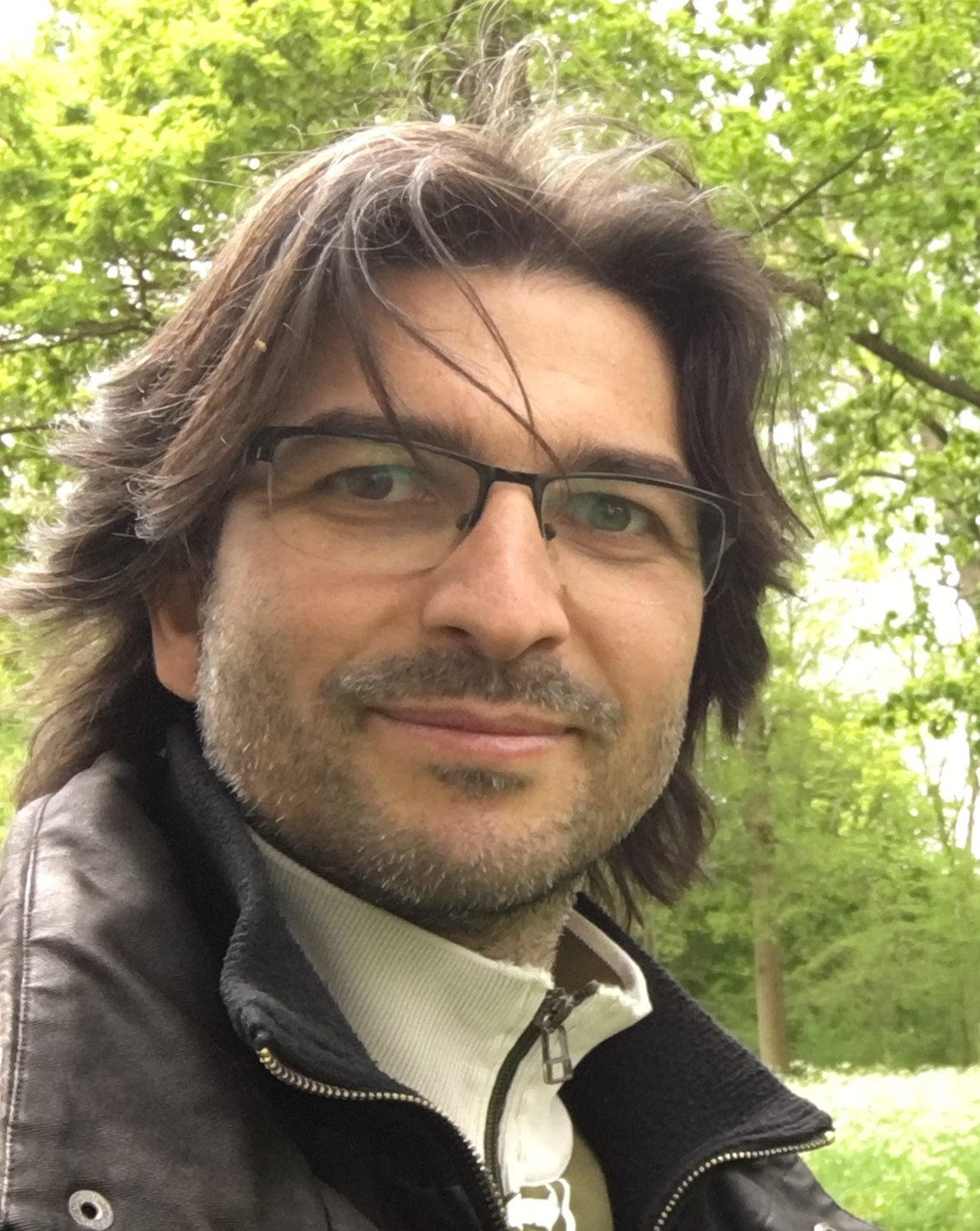
Olivier Dewitte

Olivier Dewitte

Olivier Dewitte, a geographer, is employed as a senior research scientist in the Department of Earth Sciences of the Royal Museum for Central Africa (Tervuren, Belgium). With a holistic knowledge and understanding of processes and quantitative research methodologies in geomorphology, natural hazards and environmental changes, his research aims to better understand the changing landscapes of Africa and the hazards they pose.

She has participated, also with responsibility roles, in international and national projects, funded by EU, World Bank, UNESCO and national and regional institutions. She is active in several international consortia such as ICL (International Consortium of Landslides), ICGdR (International Consortium of Geo-disaster Reduction) and DAGRI (Global Alliance of Disaster Research Institutes). More specifically, his interests are mainly focused on landslide, soil erosion and flash flood related topics in sub- Saharan Africa. His research is framed around field experience (Burundi, Cameroon, DR Congo, Ethiopia, Rwanda, and Uganda) and addresses the challenges of disaster risk reduction in data-scarce context through capacity building and cooperation activities.

ReseachGate:https://www.researchgate.net/profile/Olivier-Dewitte-2 GoogleScholar:https://scholar.google.be/citations?user=1tPXzHoAAAAJ&hl=en

Claudio Margottini

Claudio Margottini

Claudio Margottini (hab. full Professor of Engineering Geology) is the former Scientific and Technological Attaché at the Italian Embassy in Egypt and presently adjunct Professor at UNESCO Chair in the University of Florence (Italy), at Galala University in Egypt and at National Research Institute for Astronomy and Geophysics (NRIAG) in Egypt. He has served at the Geological Survey of Italy (ISPRA) and, as adjunct Professor at Modena (Italy) University and Huazong University (Wuhan, China). He is currently the President of International Association for Engineering Geology and the Environment (Italian National Group).

He is trained as an Engineering Geologist (University la Sapienza, Rome, Italy, 1979, summa cum laudae) and Engineering Seismologist (Imperial College of Science and Technology, London, UK, 1983). Extensively supporting UNESCO and other international organizations all his life long, his major field of expertise embraces the development of engineering geological techniques for the conservation and protection of Cultural and Natural Heritages. With projects in 27 Countries worldwide, during his career, he received numerous honours and awards in recognition of his services, mainly in less advantageous countries of the world. He is the author of more than 350 publications and books.

Frequently Asked Questions

What web browser should I use?

The Open edX platform works best with current versions of Chrome, Edge, Firefox, or Safari.

See our list of supported browsers for the most up-to-date information.

Question #2

Your answer would be displayed here.
Enroll